Pages

Sunday, November 27, 2011

Marquam Nature Park

Saturday was a beautiful, sunny, late fall day. Today was another story. It started cloudy and by noon the rain was falling. It so happens that I began my walk today at noon, and I was rained on steadily for the entire 80 minutes that I walked. This is Oregon, and in the words of Paul McCartney, "you've never felt the rain, my friend, 'til you've felt it running down your back." With the rain running down my back, I had a bit of an adventure on my nature walk today.

Last year I discovered a portion of the Marquam Trail that goes from the Marquam Shelter (near the bottom of SW Sam Jackson Park Road) all the way to the top of Council Crest, the highest elevation within the Portland City Limits. It's a good hill climb, but it's also a simple up-and-back. Today I wanted to try something different. I wanted to find an interesting loop hike.

I grew up in the 1960's and 70's on the shoulder of Council Crest, with the big red-and-white broadcasting tower blinking its aircraft warning lights into my bedroom window. I figured that I know that hill well enough to find my way around without consulting a map. And, for the most part, I was right.

Today I parked right at the summit of Council Crest and started my walk on the neighborhood streets. I walked down to Council Crest Drive and followed it to McDonnell Terrace, which connects to Fairmount Boulevard. At Fairmount, I turned left and walked the short distance to Marquam Hill Road. I started down Marquam Hill, keeping a sharp eye out for any side trails.

Not too far down the hill, eureka! A trail on the right headed into the woods along an old logging road. And, even better, it was marked with stakes. When I returned home, I discovered that this is called "Trail 1" on the Marquam Nature Park new trail plans. You can read more about it here, though you will probably need to register with an e-mail address first.

The trail was a bit muddy, but fortunately I was wearing my sturdy hiking boots. It was, in all honestly, really fun to hike down along this section. It amazes me that I can be this deep in the woods, yet less than two miles from the very heart of downtown Portland. After a short, mostly downhill walk, I came upon a section of the Marquam Trail that I haven't walked previously. You can see the "new" trail behind the trail marker sign (above). This is where the trail to Gaines Street crosses, also.

This was about the halfway point of my walk, and also about the lowest elevation. From here it's just over two miles of up and down (mostly up) to get back to Council Crest along the Marquam Trail. It's a good thing there are trail signs along the way, because it would be easy to take a wrong turn on the network of trails in this section.

The walk, rain or not, is very serene and peaceful. Perhaps because I grew up playing in these woods, I find them welcoming and comforting, and very pretty. But I also think that anybody, from anywhere, would find these trails to be a hidden treasure in the heart of Portland.

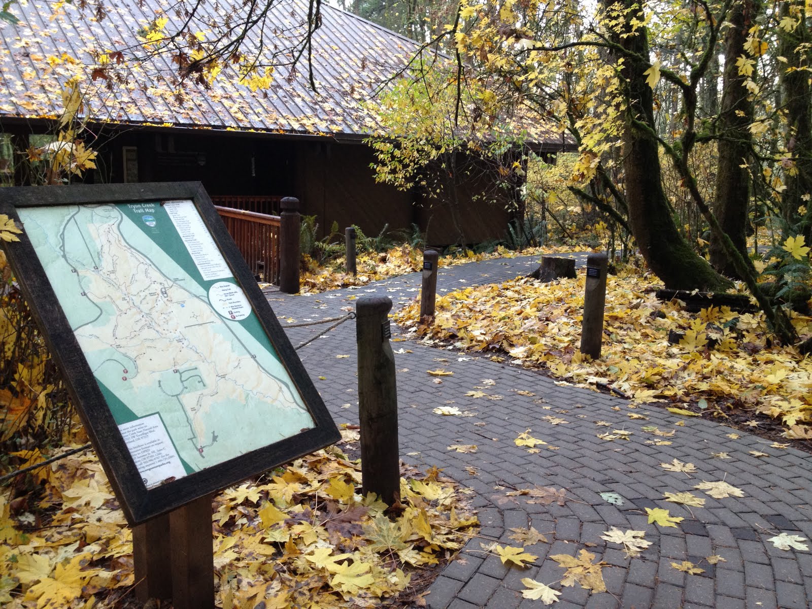
You can check out a map and detailed directions for this walk on my map page.

Sunday, November 20, 2011

Tryon Creek State Park


Tryon Creek Trail Map and Nature House
Sunrise this morning was just about 7:30am. I hit the road just after sunrise, heading to my favorite walking trails at Tryon Creek State Park. This park is located off of Terwilliger Boulevard, adjacent to the Lewis and Clark College campus, between the southwest Portland suburbs and Lake Oswego.

I've walked these trails at least twenty times. I really enjoy the ambiance of this park, with its tall, mature trees, its network of trails, and the many bridges and boardwalks along the way. Unlike many of the Metro Natural Areas, this park allows dogs on all of its trails. It also has an equestrian parking area and a decent amount of equestrian trails which are also open to foot traffic. The trail network connects to all of the adjoining neighborhoods, so I often park at a neighborhood trail head to add variety to my walks.

Sunbeams along Cedar Trail
This park is quite versatile! It's very popular with runners. In the early morning, such as today, I saw more runners than I did walkers. It is also an excellent place to bring kids or elderly people for a walk. There are short and easy walks which stay relatively flat, which are good for very small kids. As for me, I enjoy the longest possible hikes with lots of elevation change and as many bridge crossings as possible.

This morning I chose a nice, long 3.9 mile walk which includes a section of bicycle trail along Terwilliger. The sun had just risen and the sky was clear. There was just enough moisture in the air to create beautiful sun rays through the forest canopy and among the tree trunks. The air was cold and crisp, just below freezing at the start of my walk.

I am no fair-weather walker. Walking only during warm and dry weather would limit the experience. 
Iron Mountain Bridge
Nature has many faces, and many moods. I like to experience all of them.

Map and Trail Description


Monday, November 14, 2011

Cooper Mountain Nature Park

Sunday morning, I decided to check out Cooper Mountain Nature Park for the first time. This park is easily accessed from Beaverton and other west-side suburban neighborhoods, and is on the border of fairly dense residential areas and wide-open rural farmlands. Situated near the top of a hill, it has great views of the valley below. It also features a nice variety of habitats.

The trails allow a variety of loop walks, from short and easy walks up to a nearly 1-hour walk which includes a few hundred feet of elevation change.

Here is the Metro web site for the park:
http://www.oregonmetro.gov/index.cfm/go/by.web/id=16016

I also found another blogger who has written up an excellent article on Cooper Mountain Nature Park:
http://thenatureofportland.blogspot.com/2011/03/cooper-mountain-nature-park-restored.html

Sunday, November 13, 2011

Born to Walk

Almost every week for the past 18 months or so, I've been waking up early on a Sunday morning to go for a long walk. Human beings are born to walk. These days those of us who are able to walk, often don't. If we're physically fit and active, we might run or play sports or work out on a treadmill. Most of the rest of us walk only as far as we must, to get to and from our car and to shop for our groceries at the market.

Since I started my weekly walks, I've been surprised at how wonderful it feels. I started doing it, frankly, because I was too cheap to pay for a gym membership and too out-of-shape to play sports or run. Now my fitness level is far improved, I can run and play sports, but more than anything else I enjoy my leisurely, simple walks the best.

Perhaps the best part of walking has been exploring the amazing walking trails that are available around the Portland, Oregon area. I've lived in this area my entire life, but was mostly unaware of the great diversity of trails that exist right here in the metro area. The more trails I find and the more places I go for my weekly walks, the more impressed I am with these regional treasures.

I'll share my impressions with a different trail or a different walk each week. I encourage everyone who is able to, to get up, go out, and take a walk! Rain or shine, hot or cold, you were born to walk. Your mind and body will thank you.